Walking Tours provide occasions to enjoy the pleasures of Salem’s natural beauty and the historic character of our city. They introduce visitors to our historic neighborhoods, follow creeks in urban parks, cross the Willamette River on the Union Street Railroad Pedestrian Bridge and experience Salem’s the important place in Oregon History. The photo album tours are designed to be experienced virtually, the images taking you step by step through each walk from the comfort of your home. The printable walking guides supplement these virtual tours should you want to take your own self-guided walk through the city.
Each walk is a circle, so you may begin and end wherever you choose, walking in the direction in the printed guide. If you wish to take just a section of the walk, there are suggestions for those choices. Some guides are for a portion of tha entire route.
Be aware of certain hazards in these walks: fractured sidewalks, railroad tracks, tree roots on the path, or street traffic. Take your time in strolling while you learn about that neighborhood’s history and the residents who lived there in the past, but be careful of your steps. Enjoy a leisurely walk!
Available Walks
 Salem in Oregon History (View Virtual Tour)
Want to learn more about Salem history? This tour provides a good introduction and highlights of institutions of Salem’s arts, history, education and culture.
- Full Tour 2 Miles (Download the printable walking guide)
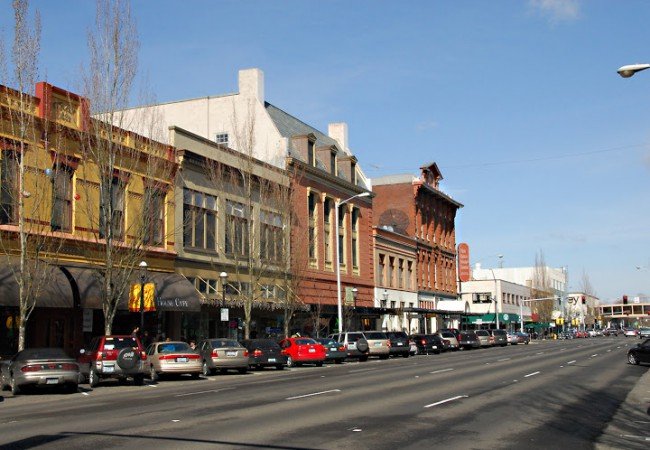
Downtown Walking Tour (View Virtual Tour) The collection contains historical photos from the early 1900s and our collection up to June 2023.
- The Full Tour 1.4 Miles (Download the printable walking guide)
- 1940s Walk in Salem’s Historic Downtown (Download the printable walking guide)
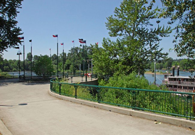
 Riverfront Walking Tour (View Virtual Tour)
Salem’s Riverfront is now a beautiful park full of recreational amenities, but it was originally a dense multi-use area filled with industrial buildings, businesses and homes. Note: the Peter Courtney Bridge linking Riverfront Park to Salem’s Minto-Brown Park was completed after this tour. While it doesn’t appear on the map, the virtual tour will lead you around this new landmark.
- Full Tour 1.5 Miles (Download the printable walking guide)
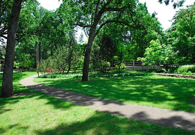
Pringle Creek Heritage Parks and Deepwood Estate (View Virtual Tour)
Pringle Creek meanders through Salem, south of the downtown area through a series of parks, institutions and public spaces
- Full Tour 2.68 Miles (Download the printable walking guide)
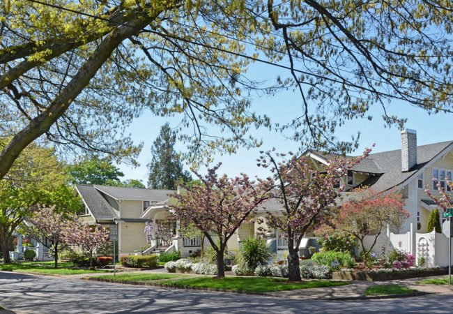
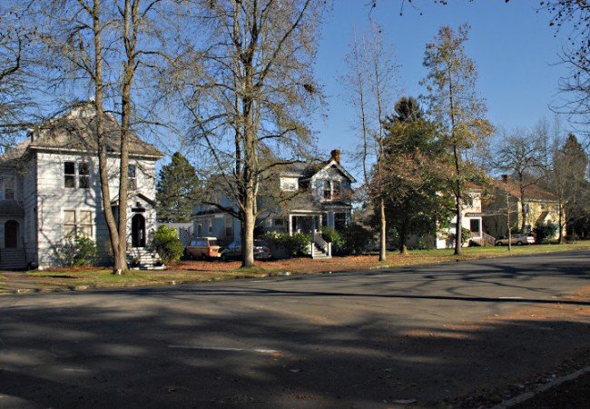
 Court Chemeketa Historic Residential District (View Virtual Tour)
The Court Chemeketa Historic District is an historical neighborhood comprised over about 38 acres and featuring homes built from 1860-1937.
- Full Tour 1.75 Miles (Download printable walking guide)
Gaiety Hill/Bush Pasture Park Historic District (View Virtual Tour)
This historic neighborhood covers about 19 city blocks and features historic houses dating from 1878-1938 and bordered by Bush’s Pasture — now a city park aptly named for its former use as grazing pasture for the Bush family’s cattle — an interesting relic of open space in an otherwise urban area.
- Full Tour (Download printable walking guide)
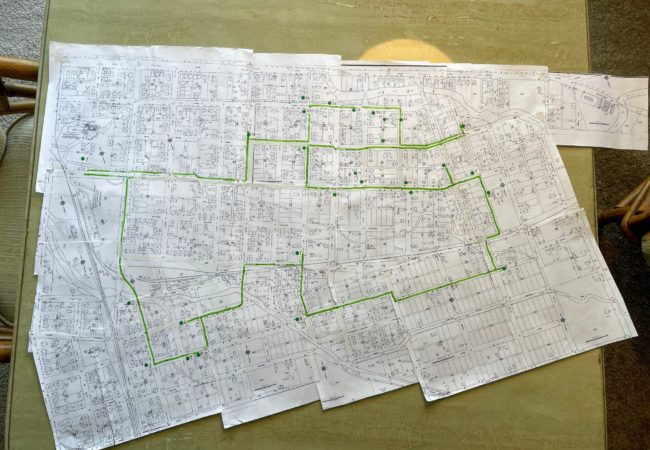
 Historic Grant Neighborhood (View Virtual Tour)
Located at the north end of downtown Salem, Grant Neighborhood borders the Capitol Mall and encompasses a beautiful, historic part of Salem with most homes being built between 1900 and 1940. Grant was the first to be designated a Heritage Neighborhood by the Salem Historic Landmarks Commission.
- Full Tour 3.3 miles (Download printable walking guide)

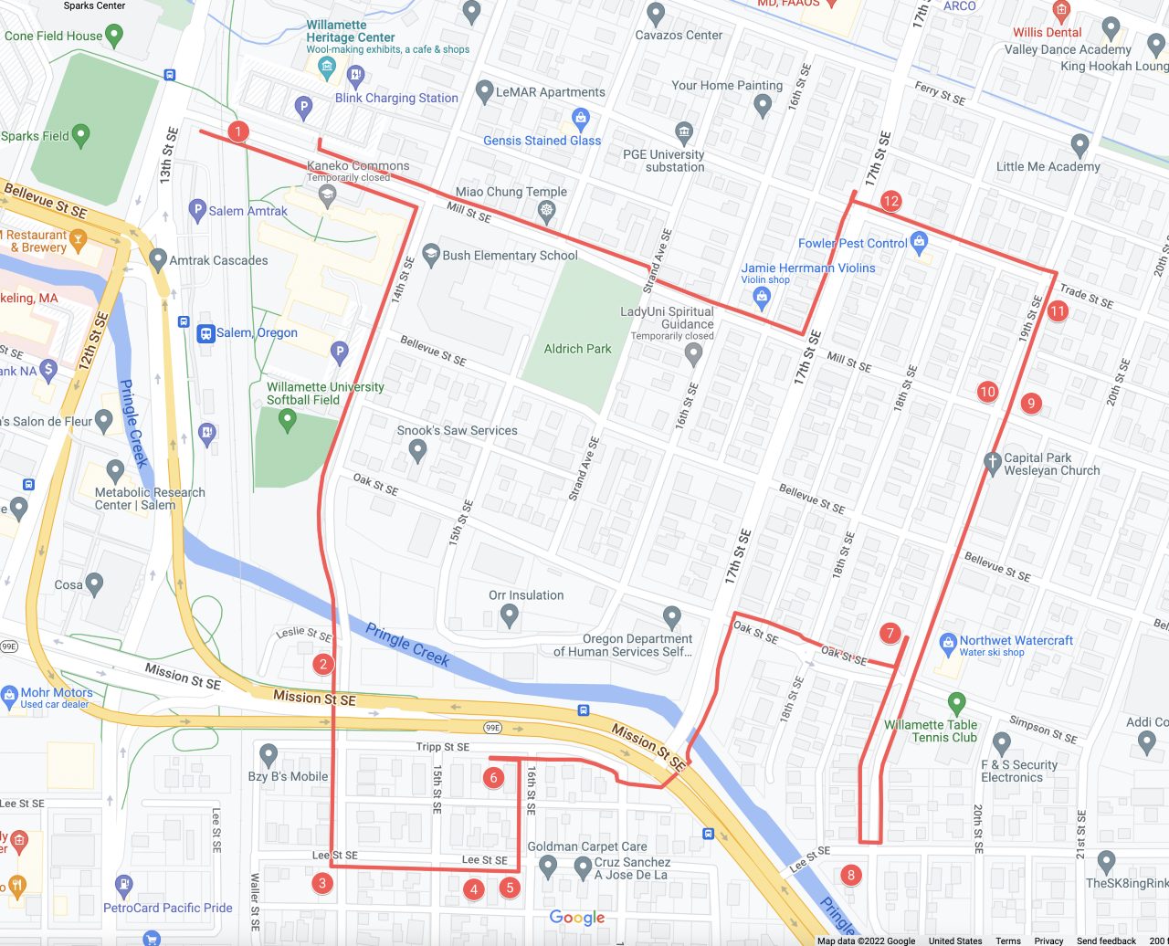
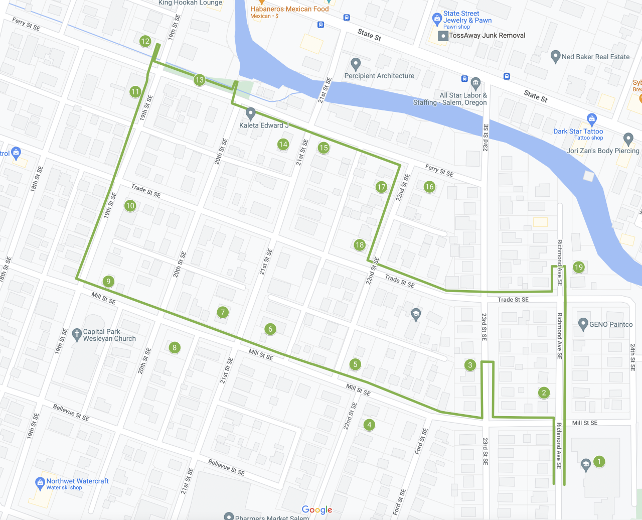
Southeast Salem: Then and Now (View Virtual Tour)
Designated by the Salem Landmarks Commission as the city’s 2nd Heritage Neighborhood in 2015, the Southeast Salem neighborhood is filled with often overlooked historical gems. Explore some of the stories of the people who lived here around the turn of the 20th century.
- Full Tour: 3.88 miles (Download printable walking guide)
- Part I:West Side 1.88 miles (Download printable walking guide)
- Part II: East Side 1.15 miles (Download printable walking guide)
Browse Virtual Tours

